
|
|
Hi ExplorOz Reader
Today's news is that a brand new, fully revised digital mapset of
Australia has been released by ExplorOz. Read on for details...
|
OFFLINE MAPS 2023
| |
The wait is over - the all new EOTopo2023
edition mapset is out now! Buy it direct here
What's so good about EOTopo 2023?
- The most detailed all of Australia map for offline use
-
All new 2023 revised data
-
Use on all platforms - iOS, Android, Windows
-
Crisp, high contrast, high resolution, high zoom levels
-
2K topo data with 10m contour lines
-
Select and filter data layers to display on the map
-
Dynamic onscreen map legend
-
Interactive icons on map show more info about Places around you
-
Easy to use, click and save route making for offline driving, cycling or hiking modes
-
Only $49.99* for the full high resolution offline map set PLUS FREE access to download additional
updates released in 2023
-
Free viewer lets you see before you buy
All the answers to questions about pricing, licencing, and how to upgrade is on the EOTopo webpage.
 *EOTopo is the exclusive offline map source for use in the ExplorOz Traveller App - purchase separately.
|
GPS NAVIGATION SOFTWARE
| |
The Traveller App, by ExplorOz, is the only mapping and navigation app that features the new EOTopo 2023
mapset.
If you don't have this app - read on and follow the links for more details.

New Version 8 Update out now!
Traveller is ideal for serious 4WD expeditions, family road trips, caravanning, bike
touring or even just your daily commutes and lifestyle navigator.
Traveller is
ideal to have on your phone so you can slip it in your pocket or pack when you're hiking, running, or
cycling as you can
stop and check your location even when deep in the bush and have no mobile service.
If you're doing an event, you can import GPX or KML course routes and see these overlayed on the map
featuring 10m contour lines and terrain shading.
You'll be the leader and envy of
all your buddies and if you're going solo, you'll feel greater confidence in your ability to find your
way out
of any situation - all offline!
With over 15,000 active current app users, ExplorOz Traveller has consistently taken pride of place for
the past 7 years as one of the top
selling apps in the Maps & Navigation category for Android, Apple, and Windows.
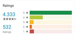
Take a look at the unique features and discover why now is the time to get ExplorOz Traveller.See More
|
FAQS FOR EXISTING APP USERS
|
Whilst we normally send separate newsletters to app users with more specific details, we thought we'd
include a little bit of help here for existing app users.
If you've previously bought the ExplorOz Traveller App, then you probably already know that right now
you'll get a FREE update to our new Version 8 release.
Version 8 has been released in the usual way as an app update to your device via your App Store.
If you haven't yet got this update,
simply open the App
Store/Playstore/Windows Store on your device - search for the ExplorOz Traveller app listing, and
you should see an UPDATE button. It's as simple as that.
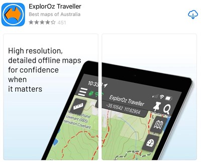
The App (ExplorOz Traveller) and the offline maps (EOTopo) are separate purchases. There is no charge for
the
updates to the Traveller app (the software) but we are a mapping publisher so we are always improving
our products
and releasing new
and better editions of EOTopo for our customers. EOTopo 2023 is the 8th edition that we have released.
If you're ready to get your new maps, just buy the new EOTopo 2023 licence direct here.
For clarifaction of EOTopo licencing, please refer to the EOTopo FAQ section on our website.
For support issues, please refer to the ExplorOz website and use any
of the contact options listed on our About page. |
BLOG: KIDSON TRACK
| |
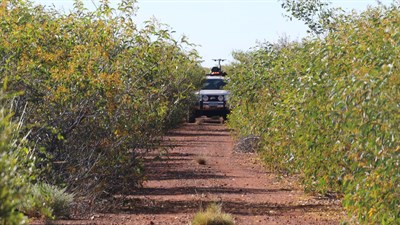
The Kidson Track, also known as the WAPET Road,
is an abandoned oil exploration track that was built during the 1960's. The land through which the route
passes is
now under native title ownership (the Martu and the Nyangumarta) and access requires a permit. The route
starts at 80 Mile Beach just south of Broome
and tracks in a SE diretion to meet up with the Canning Stock Route at Well 33/Kunawarritji Community.
In August 2022 we were the
first tourists to use the track in 3 years after COVID closures. We travelled as a solo party, just one
vehicle. This blog includes our Track Log, all the photos and story.
Kidson
Track Blog. |
BLOG: GARY JUNCTION ROAD
| |
This Blog continues the journey east beyond the CSR. We were using the Gary Junction Rd as an arterial
link to reach
the West McDonnell Ranges. As you'll read, we also ended up hiking to the summit of Mount Zeil - which
is the tallest mountain
in the Northern Territory at 1531m and is also the highest peak west of the Great Dividing Range.
This puts it in the State 8 - top 8 peaks in Australia (one for each State/Territory)
so it is a bucket list hike for serious mountain peak climbers. This blog includes our Track Logs of
both the GJR and the Mt Zeil Summit Hike, all the photos and story.
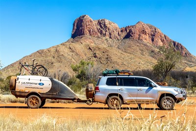
Gary
Junction Rd Blog
|
NEW TREKS
| |
You currently have access to 192 pre-routed trip plans (ExplorOz Treks) featuring the most iconic 4WD
destinations on
offer throughout Australia. These can be viewed on our website (free), and are included as downloadable
Content in the ExplorOz Traveller app. Everything you need to plan your trip is included for all Treks.
In the Traveller app, you can also
press "Start Navigation" for offline guidance along the provided route.
We have just added a few more titles being:-
- Gary Junction Rd
- Telfer Rd
- Madigan Line
- Binns Track
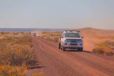
Browse all ExplorOz Treks
|
EXPLOROZ PLACES
| |
You also have access to almost 100,000 POIs (Places - towns, locations, points of interest, camps,
caravan parks, tourist points of interest, dump points and fuel facilities, historic sites and more).
This wealth of information is very inspiring - photos, descriptions, reviews from other travellers,
historic facts and more. All these Places can be viewed on our website (free), and its all included as
downloadable Content in the ExplorOz Traveller app so you've got it offline. Go to ExplorOz Places online here to see it for yourself.
When using the ExplorOz Traveller App, these Places are displayed
on the map as icons so you can simply tap to find out what's around you. You can also use these Places
for
navigation markers to make trip plans. The Places content auto updates when your device is online so you
always get the latest updates with new photos, or comments from other app users.
App users can edit and create new Places so this content is a wealth of user contribution - but is also checked by our verification/admin team.
Together with the EOTopo 2023 mapset, Places and Treks you'll have everything you need to plan your trip AND use when travelling as your offline mapping solution.
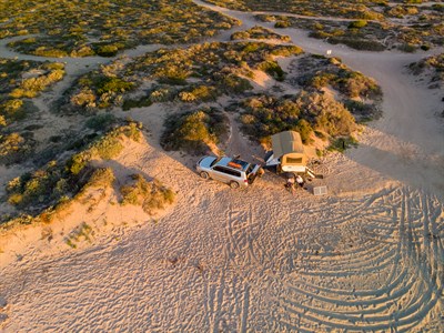
Go anywhere with confidence!
|
|
This email was sent from ExplorOz.com
I.T. Beyond Pty Ltd. Perth, WA, AUSTRALIA
|
|
|