Total Trip Distance: 8489kms
Time Frame: 29days
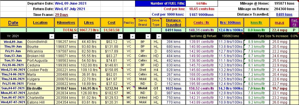
Total Fuel Used: 1067ltrs
Economy for Trip: 12.6ltrs/100kms
Vehicle: 2010 LR Defender 110 Wgn
Other Vehicles: (105’s Cruiser Wgn; 100’s Cruiser Wgn; 79’s Cruiser Ute; Landrover 110 County Wgn)
Map of Trip:
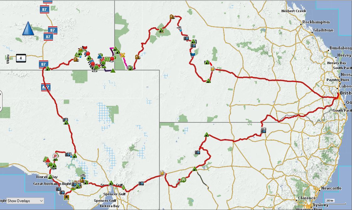
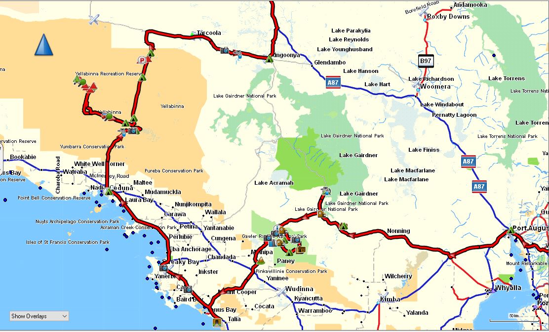
The Trip can be split into 2 Parts - 1st Section (
Googs Track including Jellabinna & Yellabinna Rocks /
Gawler Rges)
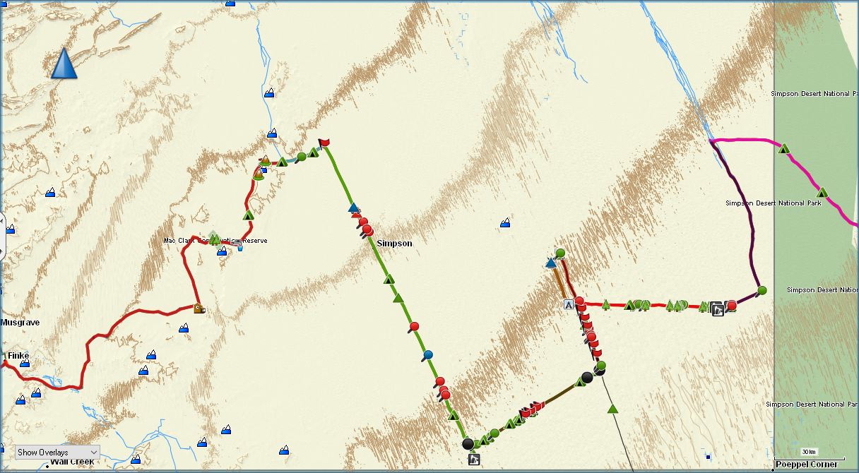
The 2nd Section (Off-Track navigating to Geo-Ctr of
Simpson Desert then offtrack Beachcomber)
Fuel Figures for the whole Trip
Photos located here:
2021 Googs and Simpson Offtrack Desert Boys Trip Day.1
Distance: 793kms (Driving Time:9h18m)
I had 5-6 days by myself before I meet the other fellas where I had planned to explore some areas that I either hadn't been to or never really fully explored the area. The plan was to leave
Brisbane and head out to Colgua NP then up to
Cunnamulla and do the Dowling Trk and explore
Currawinya NP then head south along the
Darling River, dropping into see Lake Peery and then down to finally see the
Menindee Lakes which were now full of
water.
Well, this didn't go to plan due to recent rains in the area and I had to forgo visiting Colgua and
Currawinya NP’s due to their closure. Coming into
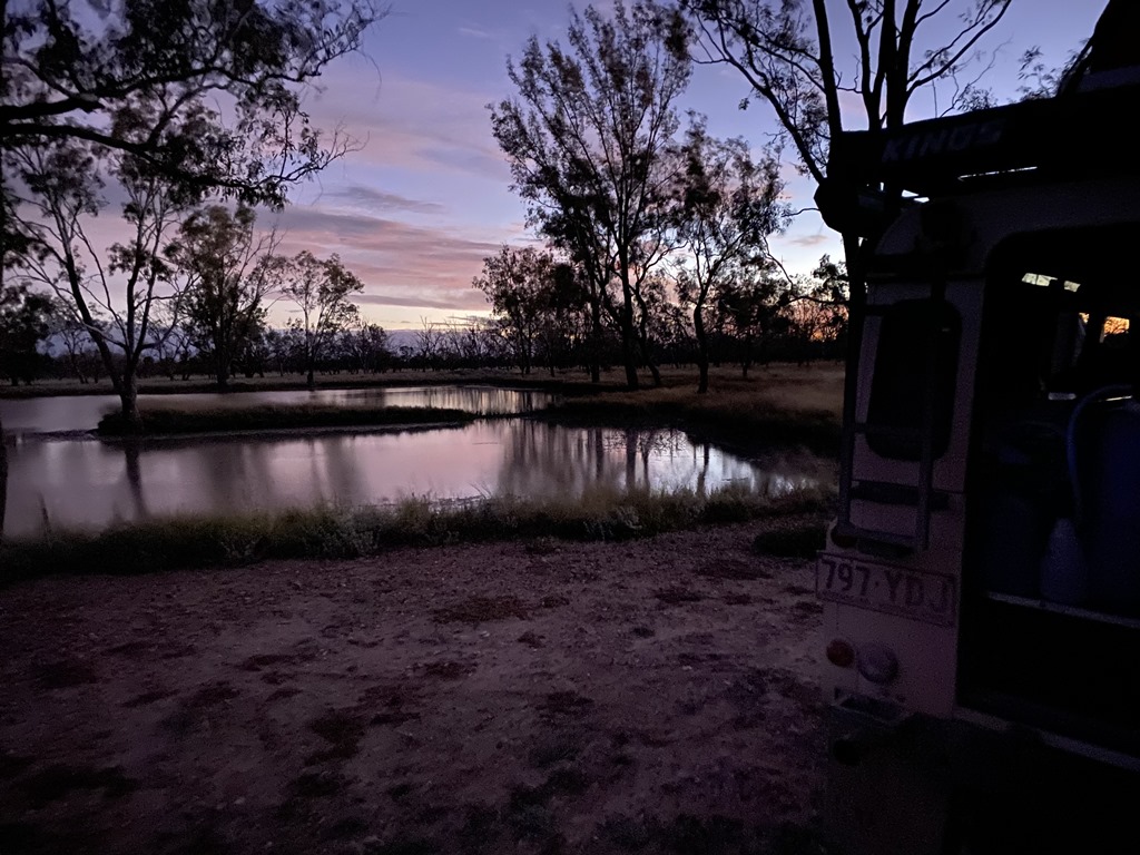
Lightning Ridge I started to hear a bit of a gearbox whine, so I stopped to check things out and noticed a bit of a gearbox leak (nothing unusual for a Landrover but in this case there had been no noises or leaks previously) and checked the oil level which was fine. This whining would be annoying me for the rest of the trip. My 1st night ended up being on the outskirts of
Lightning Ridge besides a
billabong.

The 1st nights
Camp
Day.2
Distance: 465kms (Driving Time: 5h59m)
With the closure of I headed straight out towards
Wanaaring but I didn’t just want to go the bitumen way, so I found some back roads and followed them going via Lake
Narran. This took me into
Brewarrina and then onto
Bourke and on to the banks of the Paroo River for my second Night.
Just outside
Lightning Ridge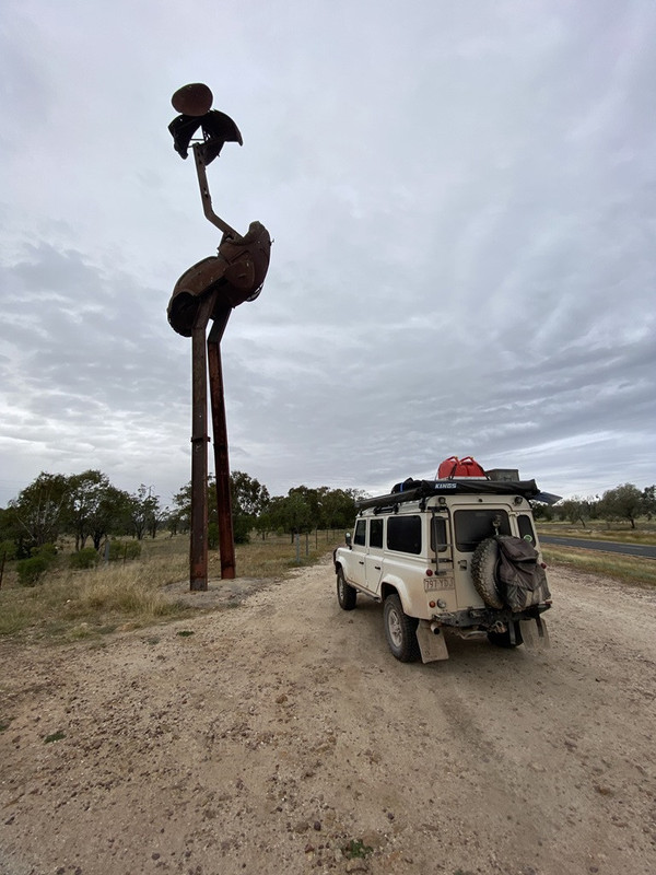
The Aboriginal Fish Traps at
Brewarrina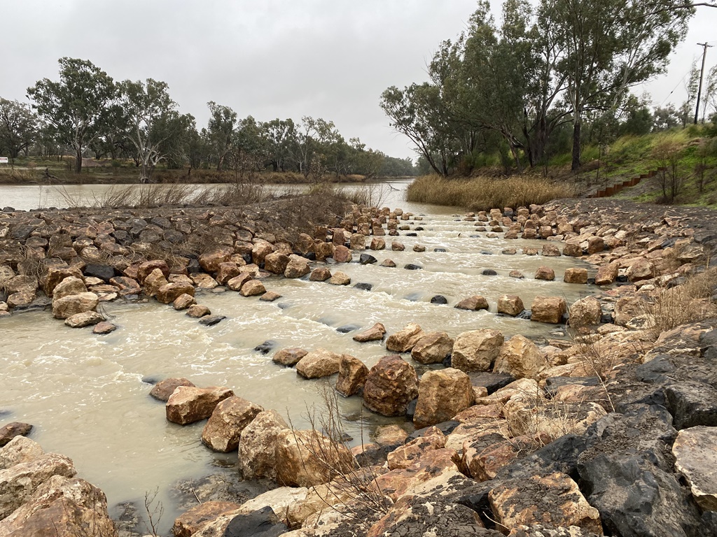
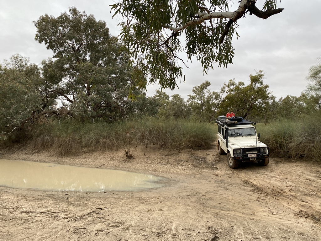
2nd Nights
Camp on the banks of the Paroo River
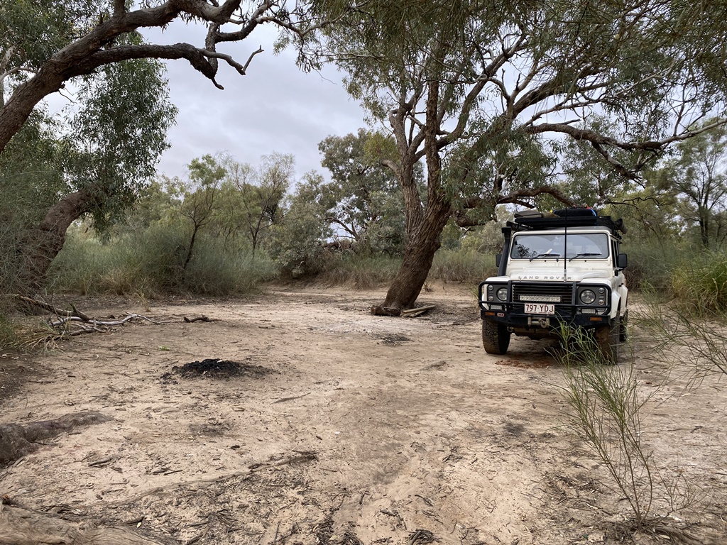
Day.3
Distance: 477kms (Driving Time:7h0m)
After a peaceful night’s
camp on the banks of the Paroo River it was south following the Paroo all the way down to Lake Peery. Not much to see here so I backtracked and headed to
Tilpa but came to a bit of a roadblock – the Paroo River had flooded the road. Fortunately, a local fella came by and said it would be safe to cross so I just followed behind him and made it into
Tilpa and then south along the
Darling River into
Wilcannia, where I refuelled and headed south a bit and bush camped for the night.
The Paroo River blocking the road to
Tilpa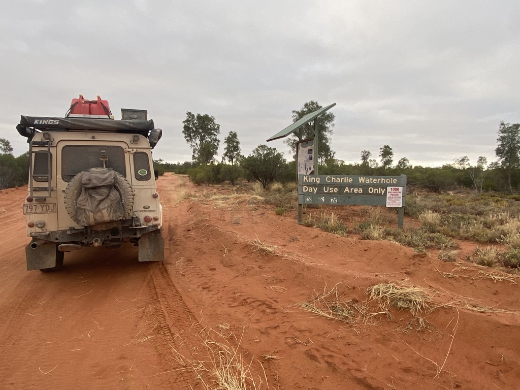

The nights
camp on the outskirts of
Wilcannia.jpg )
Day.4
Distance: 257kms (Driving Time:4h54m)
Today was a leisurely drive down along the
Darling River into
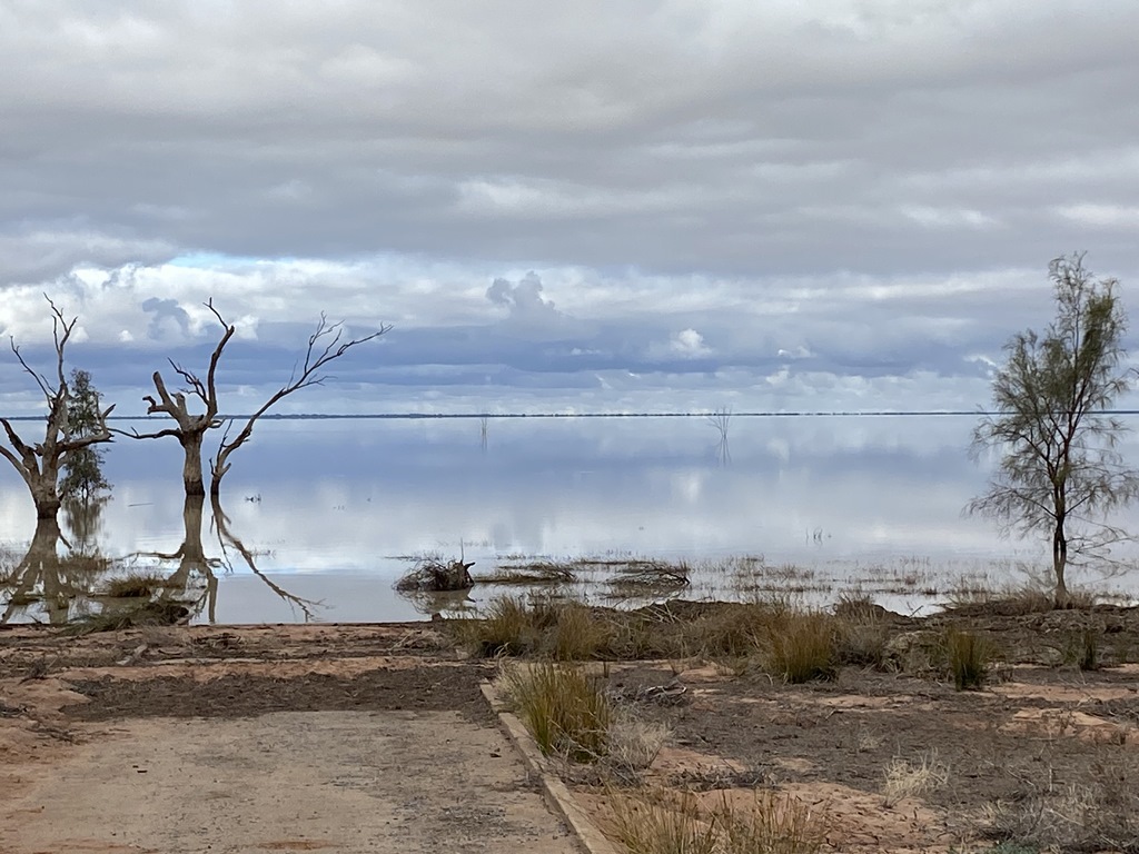
Menindee Lakes to check out the Lakes as this area was bone dry upon my last visit. To my joy the lake system was full of
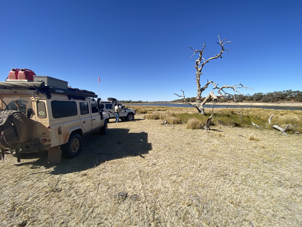
water and birdlife. I made an easy day of it and just drove around checking out all the lakes and the local attractions before finding another
bush camp on the banks of
Lake Wetherell.
.jpg )
.jpg )
.jpg )
.jpg )
.jpg)
Day.5
Distance: 245kms (Driving Time:4h03m)
Today there was no rush as I had made arrangements to catch up with another 2 members of the group that would be exploring the
Gawler Ranges and the
Googs Track, so I slowly packed up and took a southerly route around the bottom of all the lakes then headed north to
Broken Hill where I caught up with the 2 members of our crew (105’S Cruiser and a 100’s Cruiser). After a meet and greet we headed out to
Silverton to check the place out and find a
camp along one of the local Creeks for the night
.jpg )
.jpg )
.jpg )
.jpg )
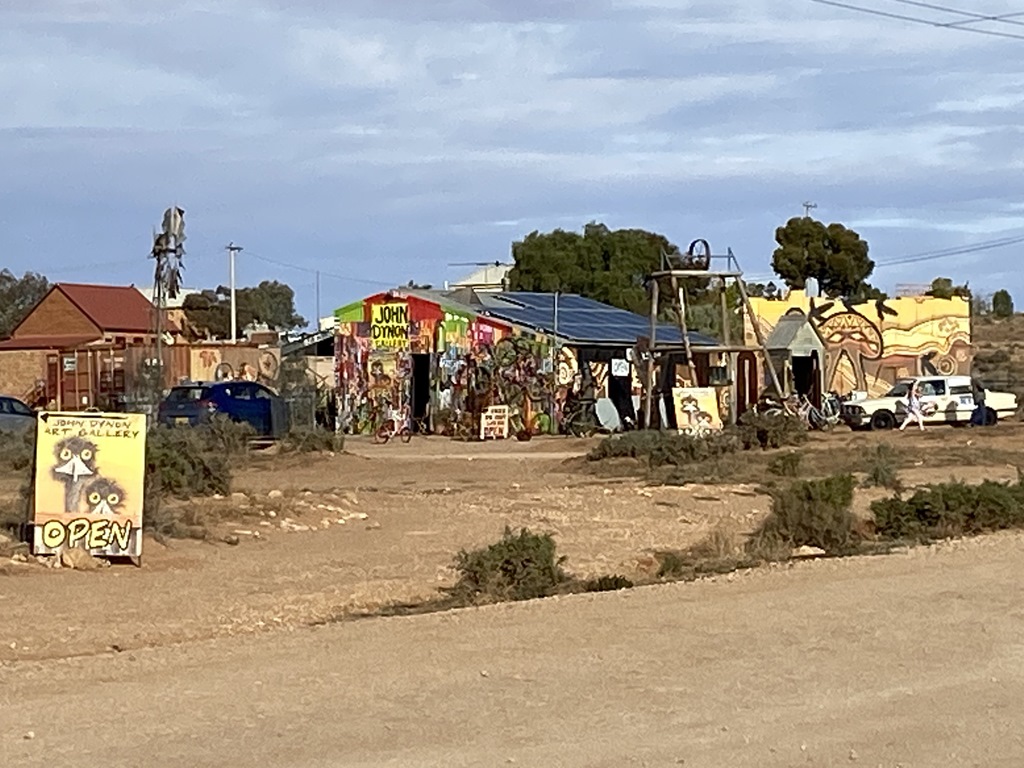
Day.6
Distance: 452kms (Driving Time:5h31m)
Up early and headed out and across the border into South Australia and headed to our next nights destination –
Port Augusta. Along the way I made a few phone calls regarding my Gearbox whine, and all comments didn’t sound good for where I wanted to go, but the decision was made that when we got into
Port Augusta, that I would drain the Gearbox oil and look for any fine metal in the oil and if all good, just put some slightly heavier oil in long with a additive. Made it to
Port Augusta in good time only to find it a long weekend and all shops closed, so we booked into a local caravan
park for the night.
.jpg )

.jpg )
Day.7
Distance: 212kms (Driving Time:3h30m)
Up early and into town to visit the local Auto Store where I bought all the gear & oil I needed to do a gearbox oil change and then back to the caravan
park where we drained the gearbox oil out. The oil that came out was like new with no contaminants. Refilled the box with some Nulon 75w90 Full synthetic along with the Nulon G70 additive. After all this we refuelled, topped up with some food and headed on out to our next nights destination –
Mount Ive Station. Along the way we called into the old mining town of
Iron Knob for a quick look before continuing to Mt Ive Stn. Along the way we got hit with a thunder/lightning storm which made things interesting on the road. We finally pulled into Mt Ive with some now fairly red mud-covered vehicles. Fortunately, the damaged to the road was next to nil due to the rain not yet soaking into the ground.
.jpg )
.jpg )
.jpg )
 Camp
Camp @
Mount Ive Station.jpg )
Day.8
Distance: 169kms (Driving Time:3h11m)
Left a bit later than normal as we needed to book online our following nights
camp in the
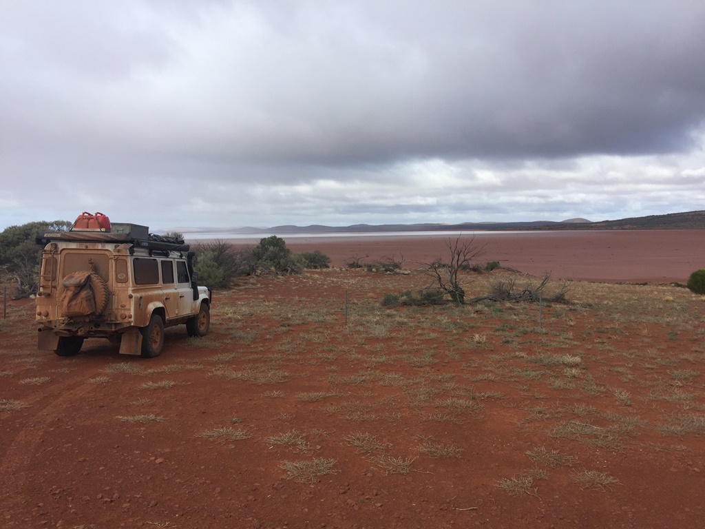
Gawler Ranges. Once packed up we headed north to Lake Gardiner, then backtracked a bit and made our way into the
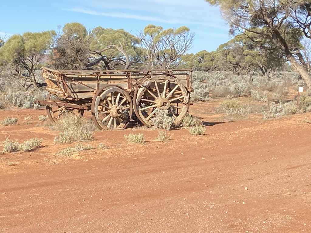
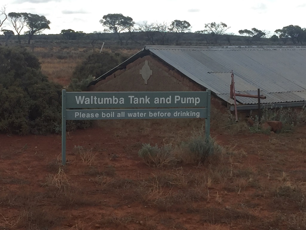
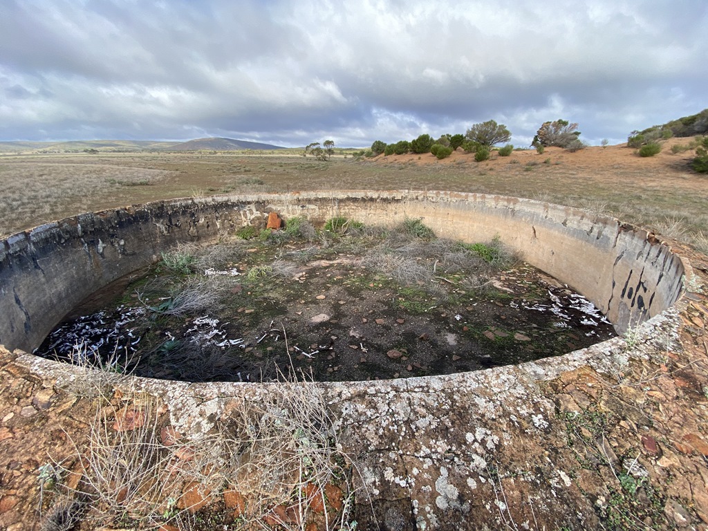
Gawler Rges NP where we camped for the night at Mattera Campgrounds. Along the way stopped in to see
Pondanna Ruins; old Waltumba
Tank;
Pondanna Outstation.
.jpg )
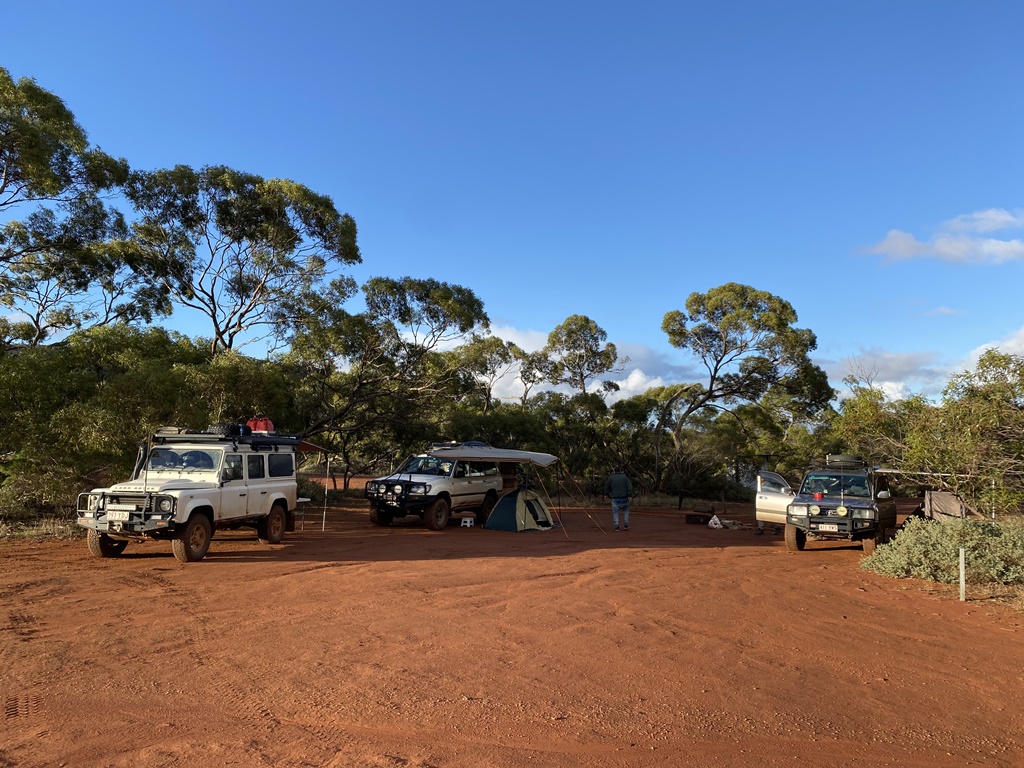
Day.9
Distance: 134kms (Driving Time:3h35m)
Woke to rain again and packed up and continued our exploring of the
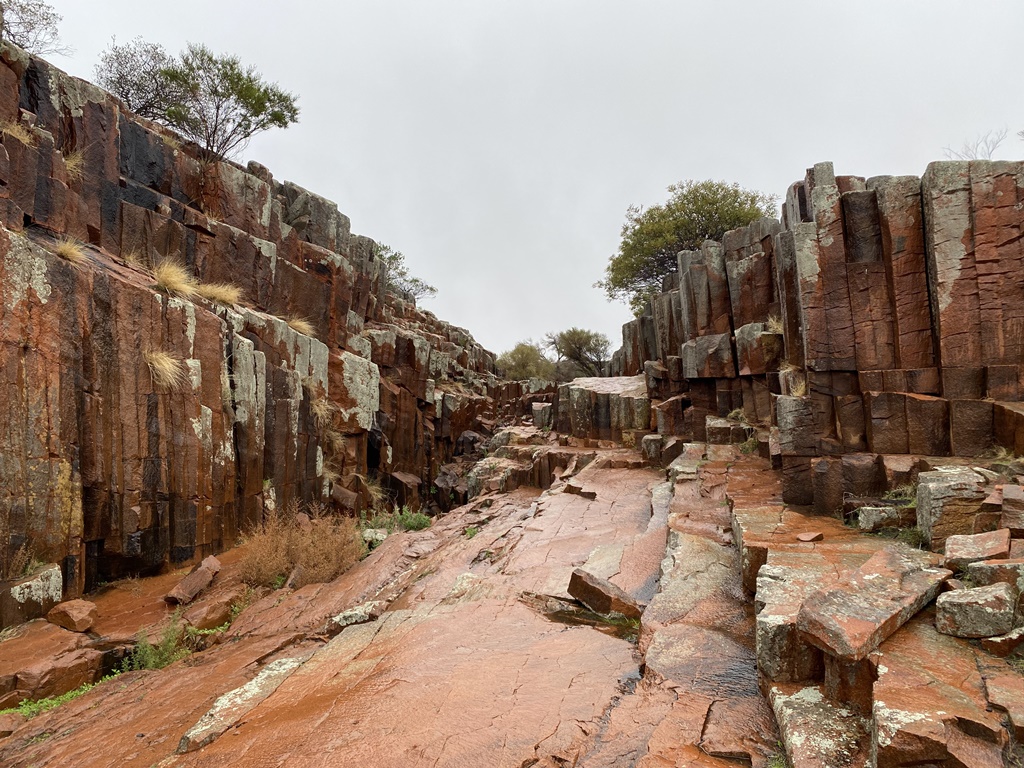
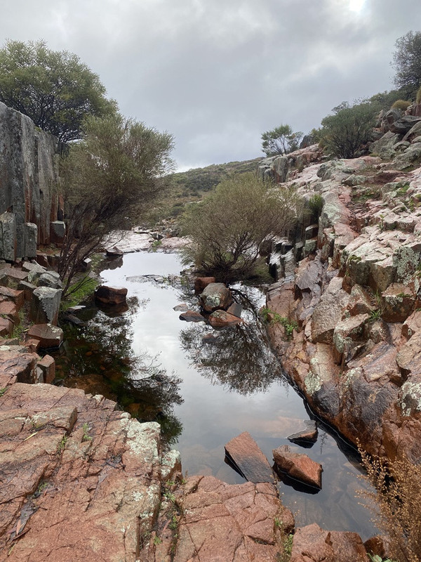
Gawler Ranges visiting the following: Kolay Hut; Mirica Falls; Paney Shearers Quarters; Old Paney; Policemans W/H; Old Stone Wall Dam; Organ Pipes. From
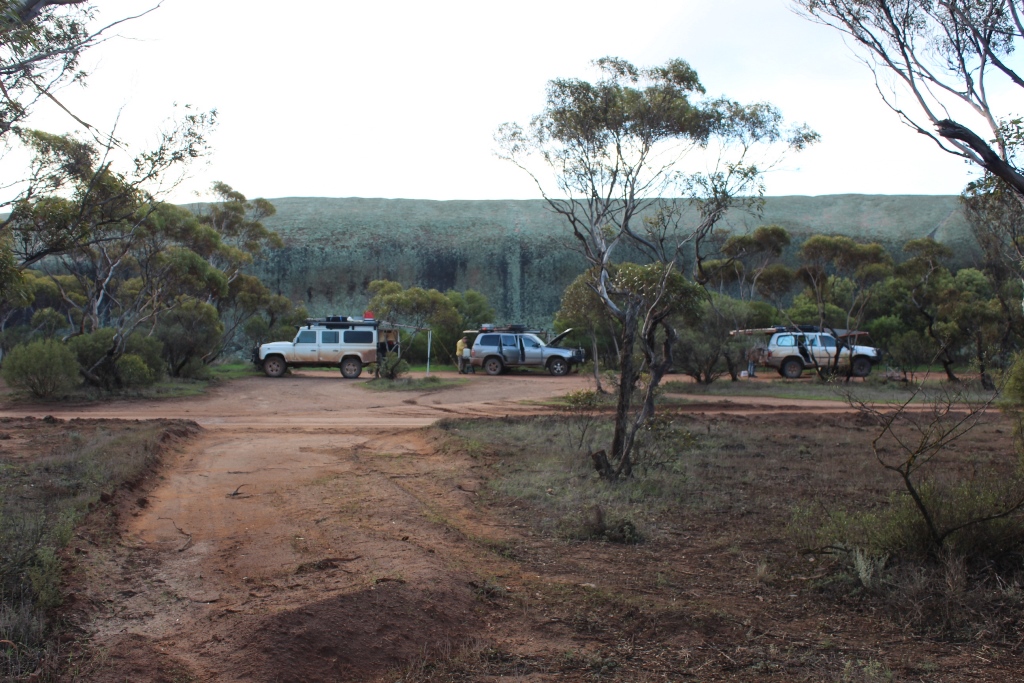
Gawler Ranges we headed out and camped at
Pildappa Rock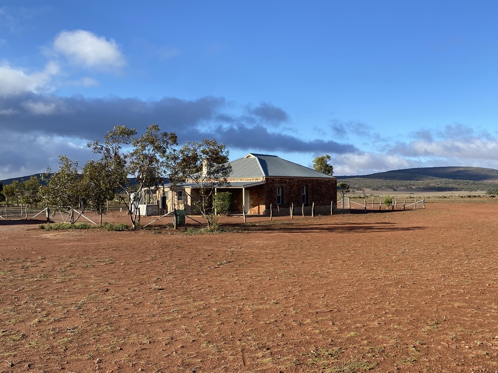
.jpg )
.jpg )
.jpg )
Day.10
Distance: 324kms (Driving Time:4h04m)
Today’s destination was
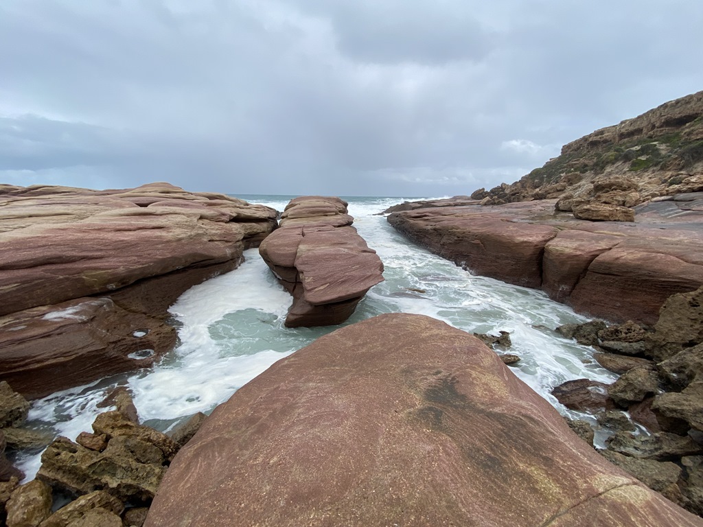
Ceduna but we also wanted to visit some of the local attractions. Along our way to
Ceduna we visited the following: Woolshed
Cave; Talia
Cave;
The Tub; Monument L/O; Murphy’s Haystacks. Along the way we also stopped in
Streaky Bay to have Lunch at the local Pub. We managed to pull into
Ceduna and camped at the Airport Caravan
Park which gave us a bit of free time to clean vehicles; top up with food; obtain
camping permits for our next destination –
Googs Track and surrounding area.
.jpg )
.jpg )
.jpg )
.jpg )
Day.11
Distance: 117kms (Driving Time:3h48m)
Headed off for our 1st remote part of the Trip –
Googs Track and the lesser known/visited
places of Jellabinna & Yellabinna Rocks. Entered through the gates into the
Park and got our 1st taste of the
Googs Track. It was badly chopped up with severe corrugations on the flat parts. Had a late lunch at Googs Lake & continued on towards
Jellabinna Rocks. Reached the turnoff and continued down the track and found a suitable spot to
camp for the night about 8kms from the turnoff
.jpg )
.jpg )
.jpg )
.jpg )
.jpg )
Day.12
Distance: 95kms (Driving Time:4h06m)
Woke up to the coldest morning to date -2degrees. Headed west along a track that looked as though it hadn’t seen any traffic for a fair period of time. Reached what looked like a burnout Mercedes AWD Wgn, not how long its been there for but I would assume a few years by the looks of it. Continued on from there as the track became less used and more overgrown with plenty of pinstriping and low-lying branches. After a hard slog we eventually reached Jellabinna Rock. A little bit disappointed as it was more like a rock slab than anything else, but we set up
camp which was going to be our 1st real remote
camping spot… just us and the dingoes howling in the distance.
.jpg )
.jpg )
.jpg )
.jpg )
.jpg )
.jpg )
Day.13
Distance: 126kms (Driving Time:5h30m)
Today we had the long drive back out along the track we came in on except for turning off and trying to navigate to Yellabinna Rock. The section of the track was very overgrown, and the vehicle panels copped even more pinstriping. We finally reached Yellabinna Rock and again it turned to be more of a slab than a rock, but I reckon it was a little more appealing than Jellabinna. Had a quick look around before exiting the same way we came in and eventually reached
Googs Track where we found a suitable spot to
camp for the night @ the side of the Track.
.jpg )
.jpg )
.jpg )
.jpg )
.jpg )
.jpg )
Day.14
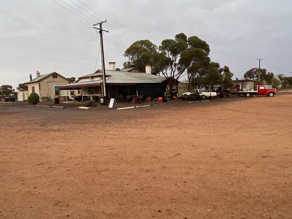
Distance: 242kms (Driving Time:6h59m)
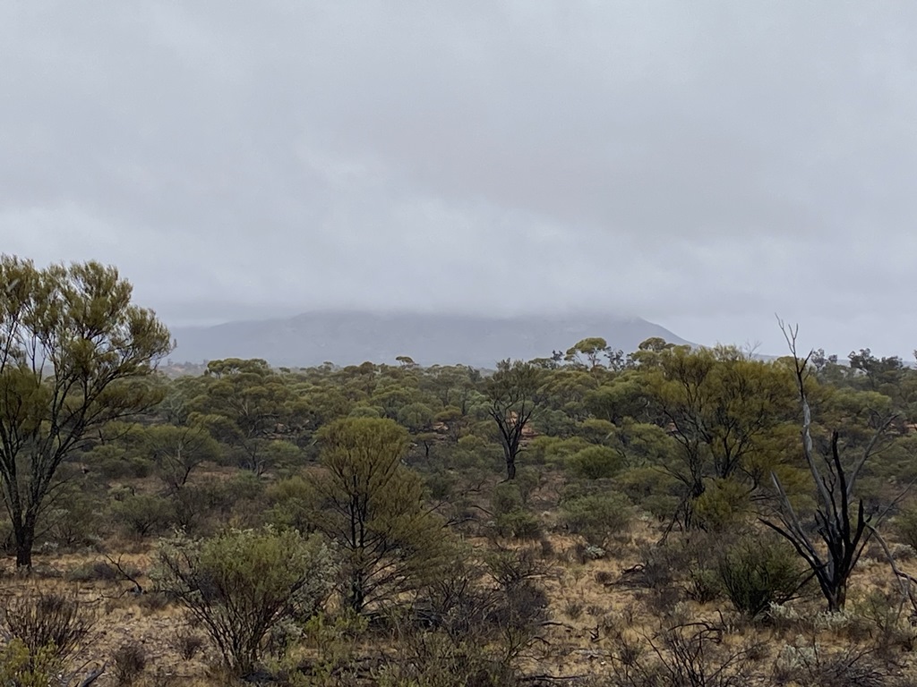
Woke again to a rainy morning where we quickly packed up and headed north towards Mt Finke. Reached Mt Finke to find it hidden by clouds. Wasn’t much point in climbing it so we had lunch and pushed onwards, bouncing our way along
Googs Track. Finally reached the end at the Trans-continental railway line and then turned east to check out the old abandoned town of
Tarcoola before continuing to the town of
Kingoonya where we stopped for the night for a
well worth shower and a fantastic and large steak at the local pub.
.jpg )
.jpg )
.jpg )
.jpg )
.jpg )
Day.15
Distance: 250kms (Driving Time:3h12m)
With only a short day to drive today we slowly packed and headed of north to the Stuart Hwy and our last place to restock before heading off-track into
the desert –
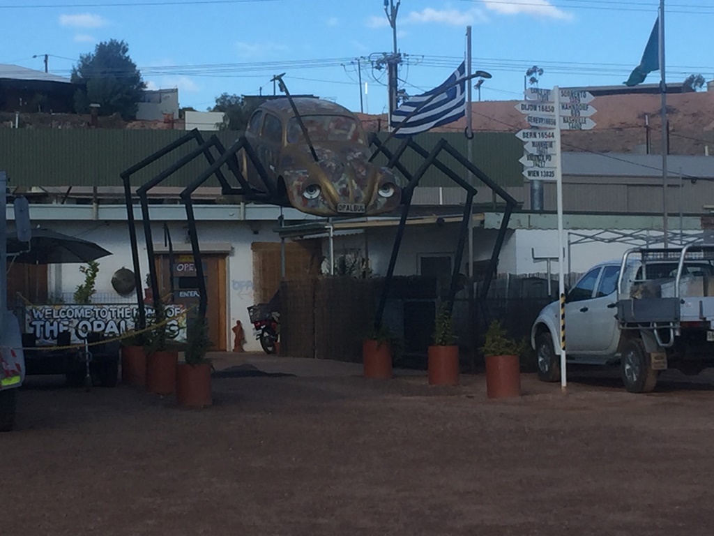
Coober Pedy. The run up the Hwy was uneventful, but I found that my Gearbox whine had greatly reduced so, I can only assume that the Nulon G70 additive was starting to do it job. Reached
Coober Pedy before lunchtime, giving us all some downtime to have a look around, check over our vehicles; refuel at a reasonable price, etc. Camped at one of the local Caravan Parks.
.jpg )
.jpg )
.jpg )
.jpg )
Day.16
Distance: 465kms (Driving Time:5h22m)
Today was the day we meet up with the rest of the crew at
Kulgera, so we headed off north, stopping in to see
the Breakaways. Continued north, stopping in at
Marla and
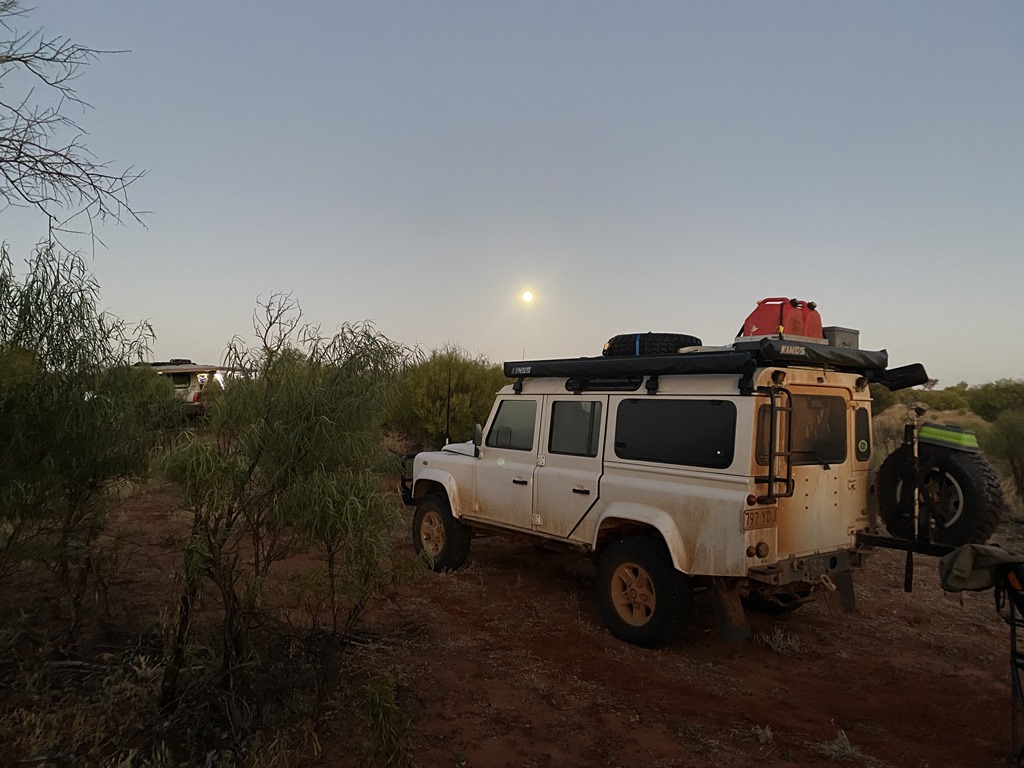
Kulgera meeting up with the last 2 crew members (79’s Cruiser & LR 110 County). With daylight getting on we refuelled and headed east towards Finke, but with daylight running out we found a nice
creek side
camp for the night – some 24kms east of
Kulgera.
.jpg )
.jpg )
.jpg )
.jpg )
Day.17
Distance: 327kms (Driving Time:4h55m)
With the group of 5 cars
camping together for the 1st time, pack up took a little longer, but it wasn’t too long and we were back on the road, reaching Finke around midday. We refuelled for the last time and bought some veges before heading off again. The prices weren’t too bad I thought as
well. We continued along and reached Old
Andado only to find that it sadly has fallen into dis-repair with everything having a thick layer of dust over it. One of the crew topped up with
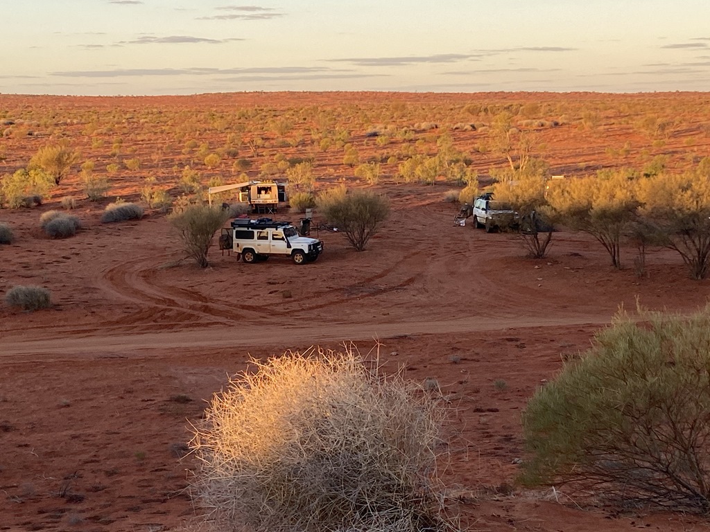
water here before we all headed off to the beginning of the
Madigan Line where we ended up
camping at MC1A for the night.
.jpg )
.jpg )
.jpg )
.jpg )
Day.18
Distance: 127kms (Driving Time:4h34m)
On the road early and made our way to locate the old abandon Tractor. It was amazing to see how quickly the roads around the area chop and change. 2years ago the track ran right past the tractor but now that track doesnt exist with the current track now some +500mtrs to the east. We pushed on past
the Twins and reached a T-
Junction where the track went either right or left. We chose to go straight ahead as a bit of a shortcut to the Colson Track. This 18km off-track section didn’t really turn out as a shortcut as it took us about 1.5hrs to finally reach the Colson Track, but it gave us a nice introduction to what laid ahead for us. We finally reached Colson track where we headed south along it. The track condition was VERY different from the last time I travelled along it. From memory, it was a nice
well used track back in 1994 but now it was very rough, slow going and not
well used. It took us all a bit by surprise and as daylight was running out we couldn’t find a suitable spot to pull off and
camp, so we ended up
camping on the track for the night.
.jpg )
.jpg )
.jpg )
.jpg )
.jpg )
Day.19
Distance: 102kms (Driving Time:4h33m)
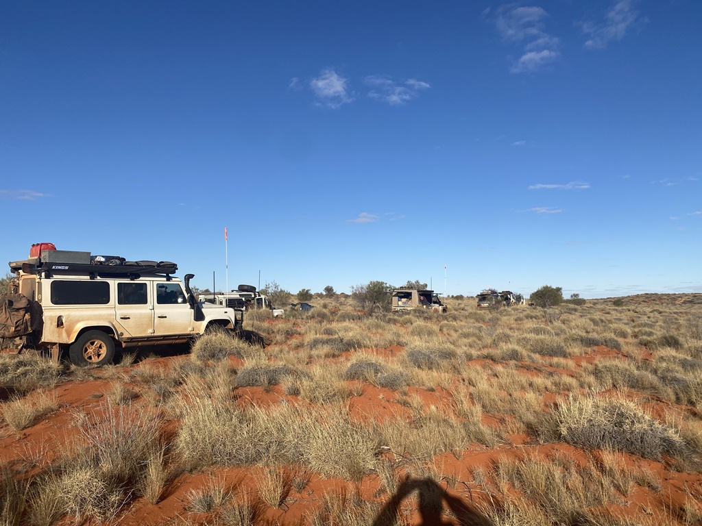
Today was the day we would reach the point where we would turn east along the N/E
shotline or what was left of it. We still had some 82kms still to go to reach our turnoff point as the track condition didn’t improve. We finally reached the turnoff point and while of the crew took the time to put some of their fuel that they were carrying on their roof into their tanks, a couple of us quickly headed south to check out the old abandon Colson Oil
Well site. Once we checked out the
old well it was a quick drive back north and we all turned eastwards to what would be 1.5days of slow going before we would reach the N/S
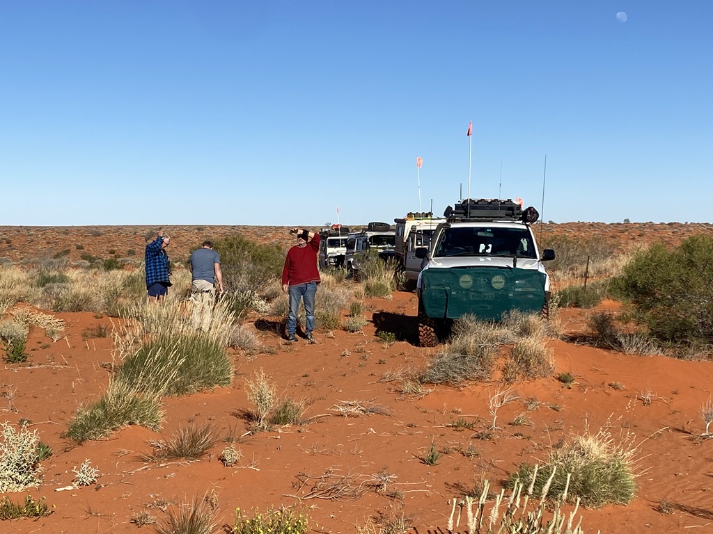
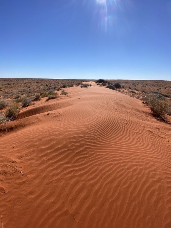
Shotline. Our speed was down to single figures as we rocked and rolled our way over the moguls and spinifex mounds. We came to a bit of a
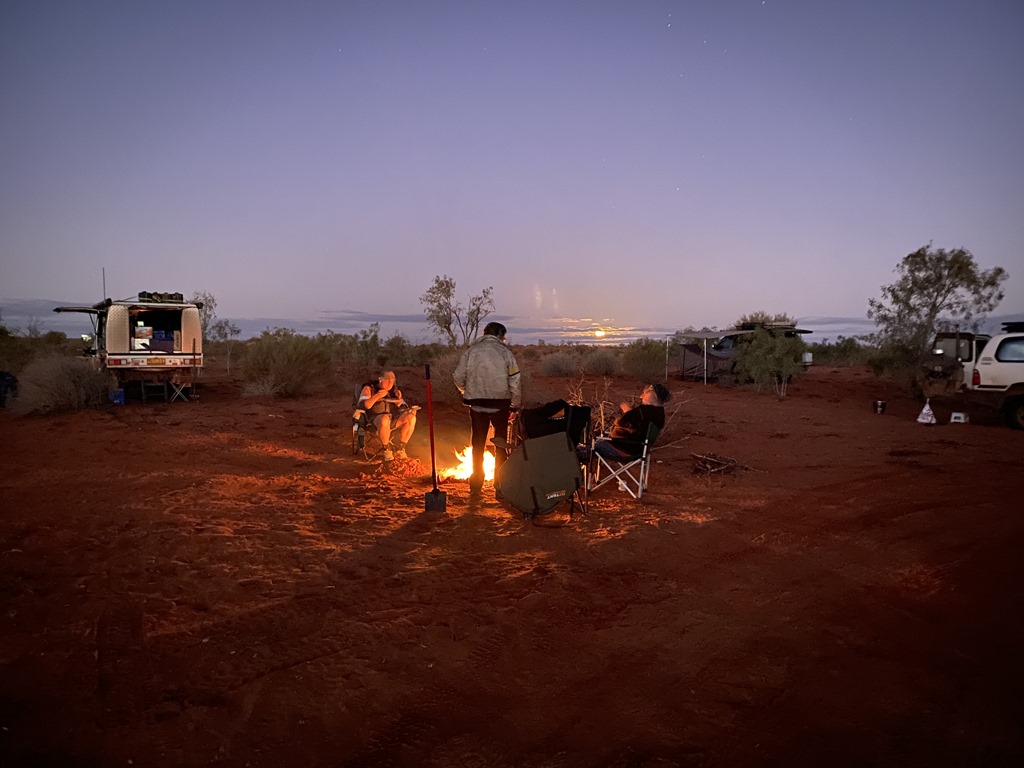
clearing where took the opportunity to
camp for the night – some 7.5kms to the east of the Colson Track.
.jpg )
.jpg )
.jpg )
Day.20
Distance: 53kms (Driving Time:4h59m)
Another cold morning as we all slowly rose and packed up. The
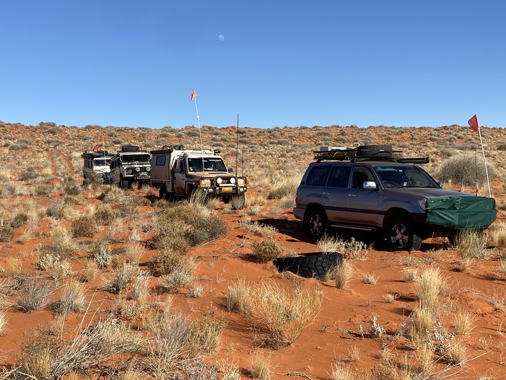
shotline that we were following quite often would just disappear and then reappear over the next few sandunes. All vehicles continued slowly and with all vehicle tyres deflated down into the teens to make it over the sandhills as easily as possible. Speed again was still in the single digits as we made our way eastwards. We followed our pre-planned tracklogs that were pretty much on the money with us coming across most of the original star pickets indicating that we were on track. Time again was getting late and we realised that we would be spending another night on the
shotline – some 10kms short of the N/S
shotline intersection.
.jpg )
.jpg )
.jpg )
.jpg )
Day.21
Distance: 71kms (Driving Time: 4h33m)
Up and off again early and within 1-2hours we had reached the N/S
Shotline. We took the time to check the area for old relics from a time long past. We turned onto the N/S
shotline and the going became a lot easier running with the dunes and we reached the point where again we would head cross country to reach our long-waited destination – The
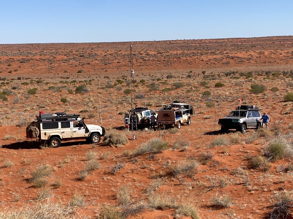
Simpson Desert Geographical Centre. The centre is some 5kms to the west and picking the right point to turn westwards can be a bit of a hit and miss. We probably went a bit too far north before we turned west but again, we slowly worked our way towards the centre, reaching it right around lunchtime. After lunch we headed north to locate the very first marking of the Geo-Ctr way back in the 80’s before there was GPS’s around. Unfortunately, the person was proven to be a bit incorrect in his calculations. This
plaque was some 18kms north of the current Centre and it wasn’t long before we found this old Geo-Ctr
Plaque that was erected by Willem Kempen way back in the 80’s (see his website for some great info and stories:
https://www.kempen.id.au/). Upon finding the old
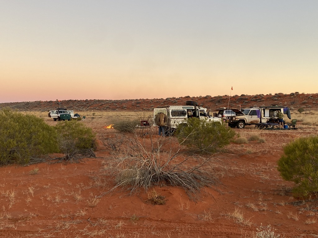
plaque we headed west to a flat area to
camp for the night.
.jpg )
.jpg )
.jpg )
.jpg)
.jpg )
.jpg )
Day.22
Distance: 55kms (Driving Time: 4h50m)
Today’s plan was suppose to head north to the Geo Surveyors
Hill then back south but due the conditions we had experienced and concerns with some of the group vehicles, it was decided to give that a miss and just head east to the old 1960 Fuel Dump then south along the old N/S
Shotline where we would again turn eastwards off-track to the old
Beachcomber Oil Well site. Reached the 1960 Fuel Dump within 1-2 hours of driving and spent some time looking around at what was left behind from all the exploration many years ago. From this point 2 of the crew had concerns with their vehicle’s
suspension & decided that they would not head eastwards to Beachcomber but instead south along the N/S
shotline to the French line and into
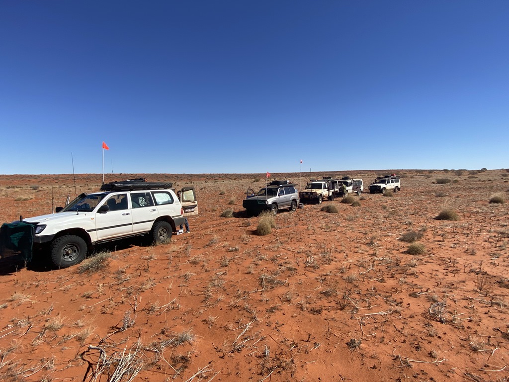
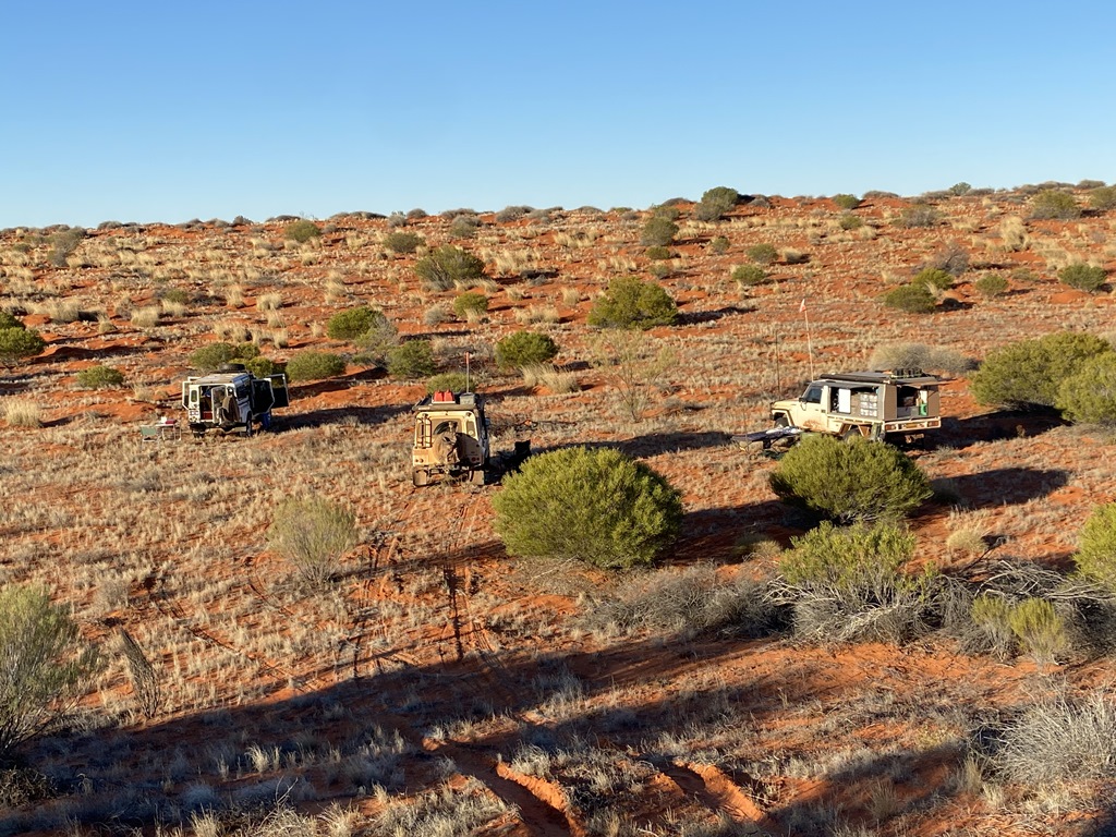
Birdsville that way. Once we reached our eastwards turning point we said our farewells and the 3 remaining vehicles turned and headed east while the other 2 continued southwards. The 79’s ute and the 2 Landrover’s headed east and the going was pretty similar to what we had been experiencing the past2-3days. Continued until we came to what we thought would be a good flat place to
camp amongst all the spinifex and Mogul humps we had been navigating around. We were some 24kms east of the N/S
Shotline.
.jpg )
.jpg )
.jpg )
Day.23
Distance: 51kms (Driving Time: 5h31m)
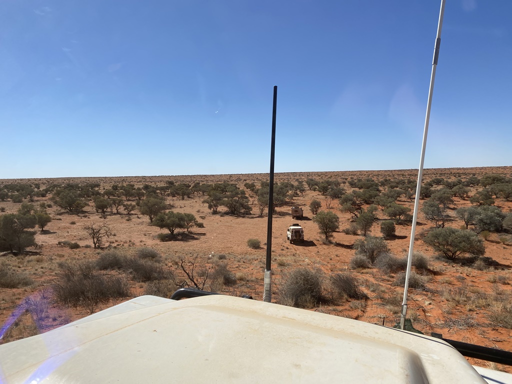
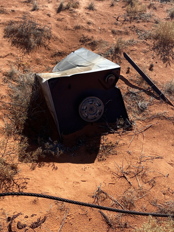
With Beachcomber being some 52kms to the east we got going early and slowly slogged our way eastwards. We continued over sandhill after sandhill navigated around and over all the Spinifex mounds and moguls to be surprised with a beautiful valley of Gidgee Trees where we stopped for Lunch. After lunch we continued pushing east only to find the conditions becoming tougher and slower with the moguls becoming quite difficult to navigate through. After what seemed like hours and hours we were about 8kms from our destination where we wanted to check out a waypoint that we had pre-recorded as a possible old mining site. Upon reaching the waypoint we welcomed with an old mining
camp where they had left behind a fair bit of junk. There was a few old 44g Drums; old washing machines; batteries; tyres and hundreds of old bottle tops scattered all over the ground. With time running out we left this unique area and continue eastwards when the 79’s Ute suddenly stopped without reason. The driver thought it maybe a blocked fuel filter which we swapped out without solving the problem… Upon further investigation it was determined that the owner accidently clicked his subtank switch unknowingly and ran the Subtank dry. After realising this, a quick change of tanks and we were all off again, reaching our next
camping spot - Beachcomber about an hour later and where our cross-country off-track experience had come to a end.
.jpg )
.jpg )
.jpg )
.jpg)
.jpg)
.jpg)
Day.24
Distance: 131kms (Driving Time: 5h25m)
With our cross country experience now ending, this is where the 79’s crew member headed south along the
Hay River Track and into
Birdsville that way and the 2 remaining Landrovers heading north along the
Hay River Track to MC16 where we would turn east and head down along the
Madigan line and into
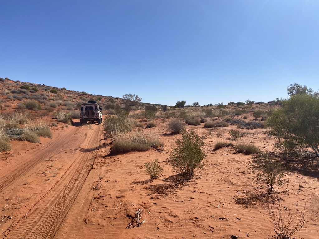
Birdsville. Being relieved that we had left behind all the slow driving we continued along the
Hay River Track as both of us had not travelled along this section of the track before. The going was a lot easier but again, plenty of corrugations and some very windy sections when reaching the actual parts of the dry river. We reached MC16 for lunch and pushed on eastwards reaching a small group of Gidgee Trees about 7kms east of MC17 for nights
camp.
.jpg )
.jpg )
.jpg )
.jpg )
Day.25
Distance: 201kms (Driving Time: 5h18m)
Slept in for the 1st time and left our
camp later than I would have liked. The track conditions had greatly improved with a smooth run down the Madigan with speeds of 30kph being reached. You could start to see some of the approaches to the dunes becoming a bit chopped up but this was minimal and was a much better way to come into
Birdsville instead of the usual chopped up French and QAA lines. We made good time and reached MC20 which was one Madigan
Camp that we missed 2 years ago due to it being under
water from floods. It took a bit of time but we located the star Picket and took the required photos for proof. From here the road improved again with a quick drive down past the old Annadale
Ruins and continued south to
the junction of QAA line and the Eyre
Creek bypass. This is where we came across what seemed to be an endless amount of vehicles heading into
Birdsville for the Big Red Music Bash. We stopped at Eyre
Creek to have a bit of a look around as it was now bone dry. With there still being a bit of daylight left we decided to head to Big Red and
camp somewhere nearby. We reached Big Red and had the usual play in driving up the western side before it was time to to find a
camp for the night. We ended up finding a nice little hidden
camp on top of a Sandhill which was a fitting way to end our Desert adventures.
.jpg )
.jpg )
.jpg )
.jpg )
Our wheel Tracks from 2 years ago where we crossed the flooded Eyre
Creek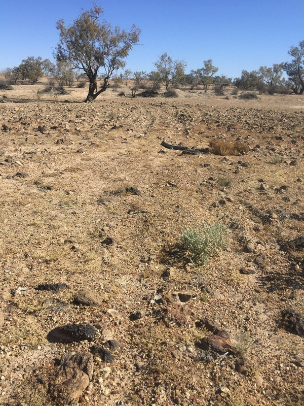
.jpg )
.jpg )
.jpg )
.jpg )
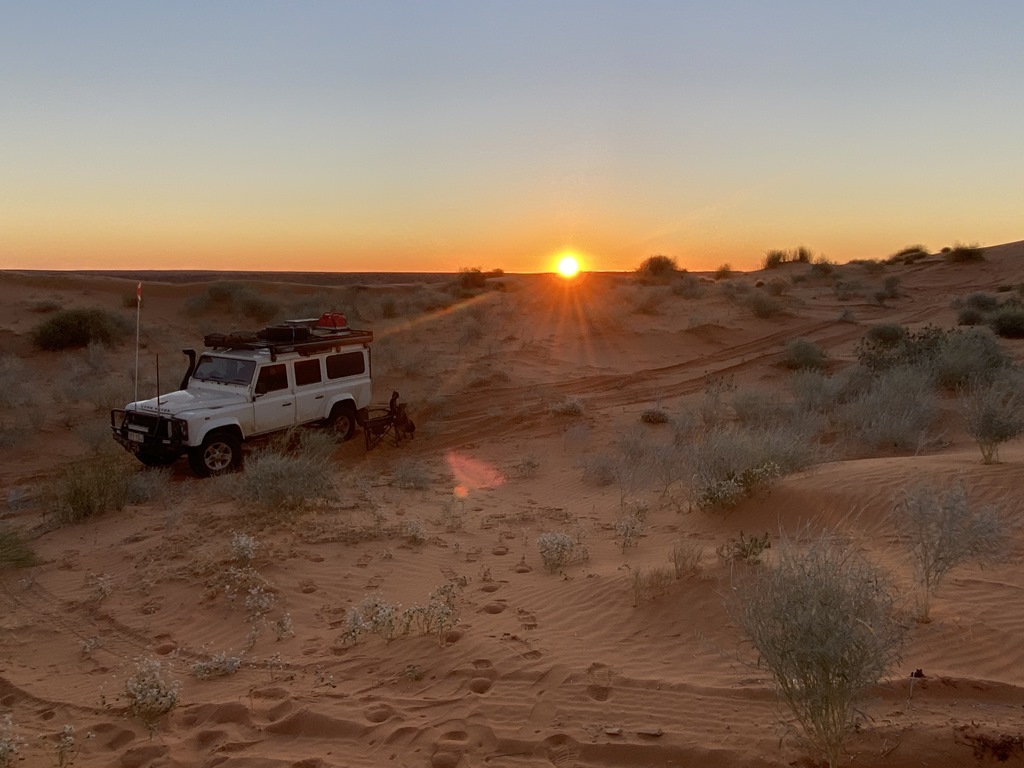
Our last official
Camp in
the Desert before we head our separate ways – Top of
Little Red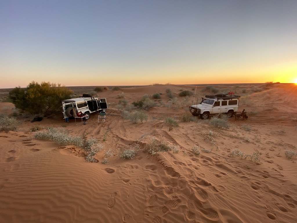
Day.26
Distance: 472kms (Driving Time: 6h29m)
Woke and packed up and headed out to
Birdsville only to be greeted by a constant stream of Vehicles and Vans heading out to the Big Red Bash music concert. It was a sight to see but the dust was something we could have done without. Rolled into
Birdsville and headed straight to refuel and dump off our rubbish that we had been carrying through
the desert. This was also where both Landcovers would go their separate ways. I didn’t want to go home the normal way and decided to head north to check out the
Diamantina Lakes and some other areas that I hadn’t been to before. The road out of
Birdsville was again busy with people heading to
Birdsville, so I took a side track east around
Lake Machattie so not to have to deal with all the traffic heading south. This part of the country very sparse and baron with gibber plains as far as the eye could see. Finally reached the Diamantina Lake NP and started exploring the
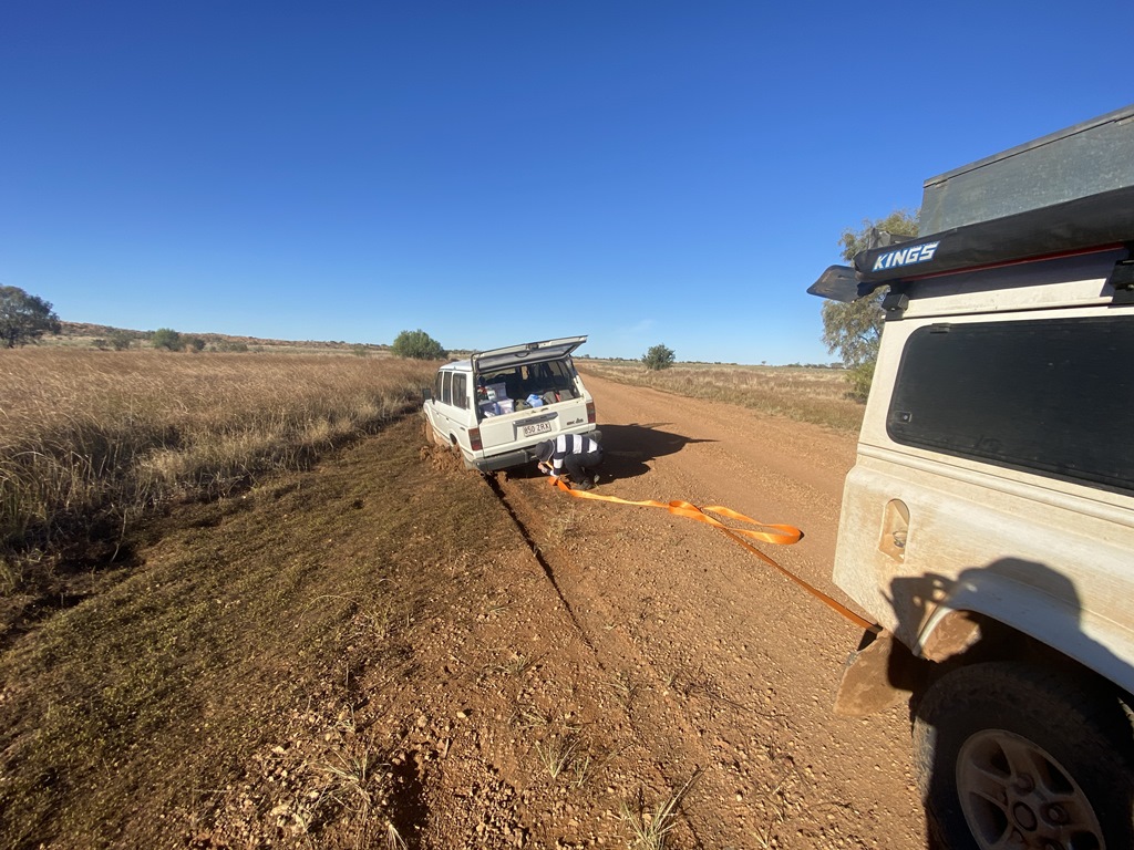
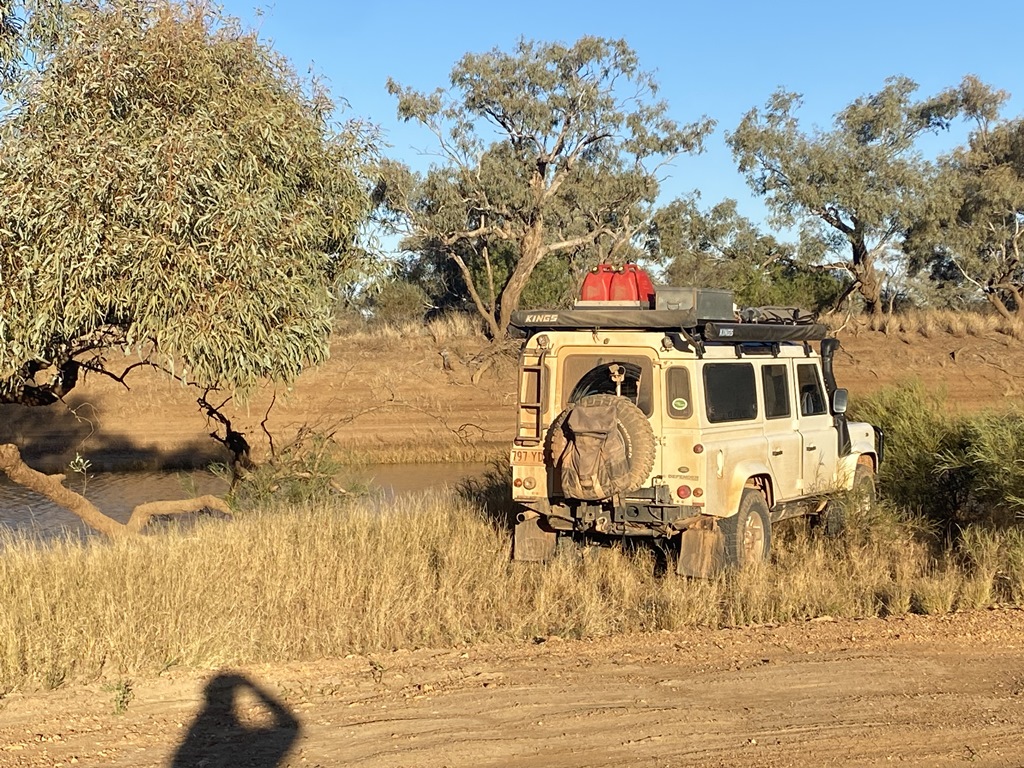
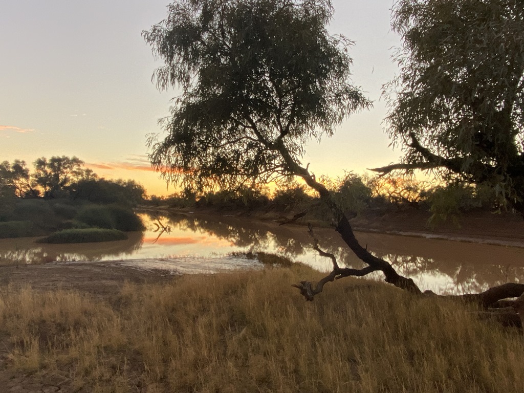
park only to be faced with tracks still being closed due to recent rains. Found a little side track that I thought would be a nice little track to explore but only just got out without getting bogged. Pushed on and came across a very-bogged old Landcruiser. The driver had tried to do a u-turn but didn’t realise the edges of the road were hidden bog-traps. I ended up pulling him out and pushed on to find a nice little
camp on the banks of a
waterhole.
.jpg )
.jpg )
.jpg )
.jpg )
.jpg )
.jpg )
.jpg )
.jpg )


Day.27
Distance: 855kms (Driving Time:10h40m)
Now, being by myself I was on the road at sunrise and headed off to check out the local historical
Homestead and also now the NP headquarters. I had a good look around and then wanted to talk to one of the
park rangers about the roads to the north. The
Ranger told me that the roads were still officially closed and that I would have to backtrack some hundreds of kms to
Boulia and then to
Winton that way. This would have put me severely behind time plus pushing my fuel capacity to its limits. I had checked for road closures when I was back in
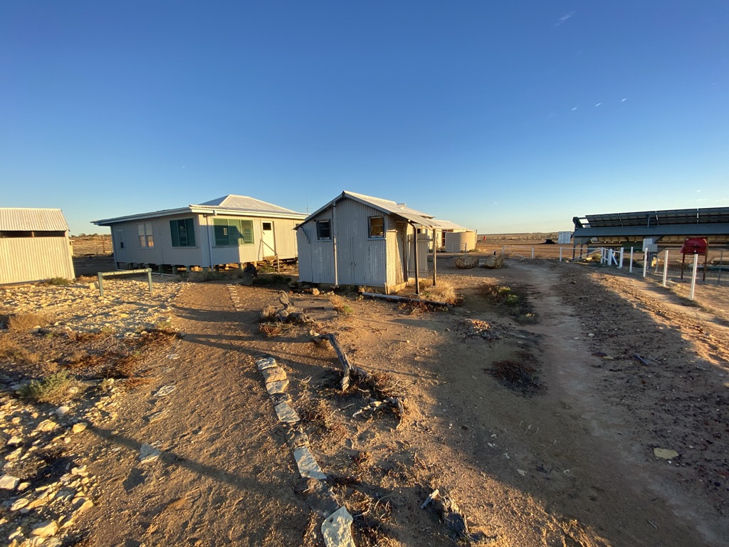
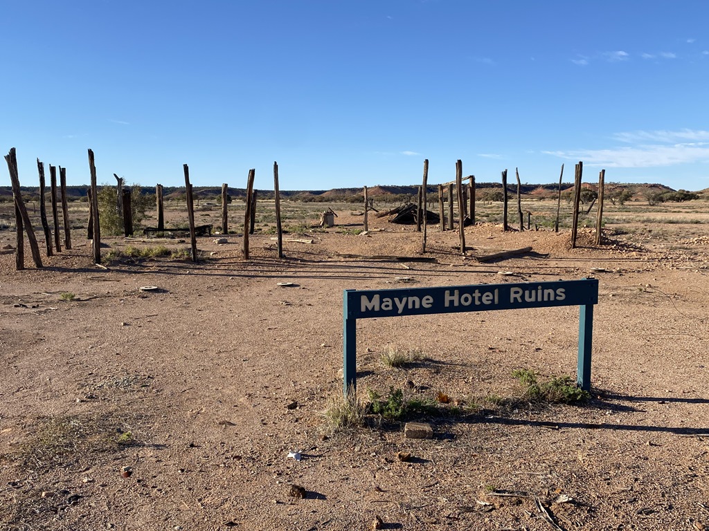
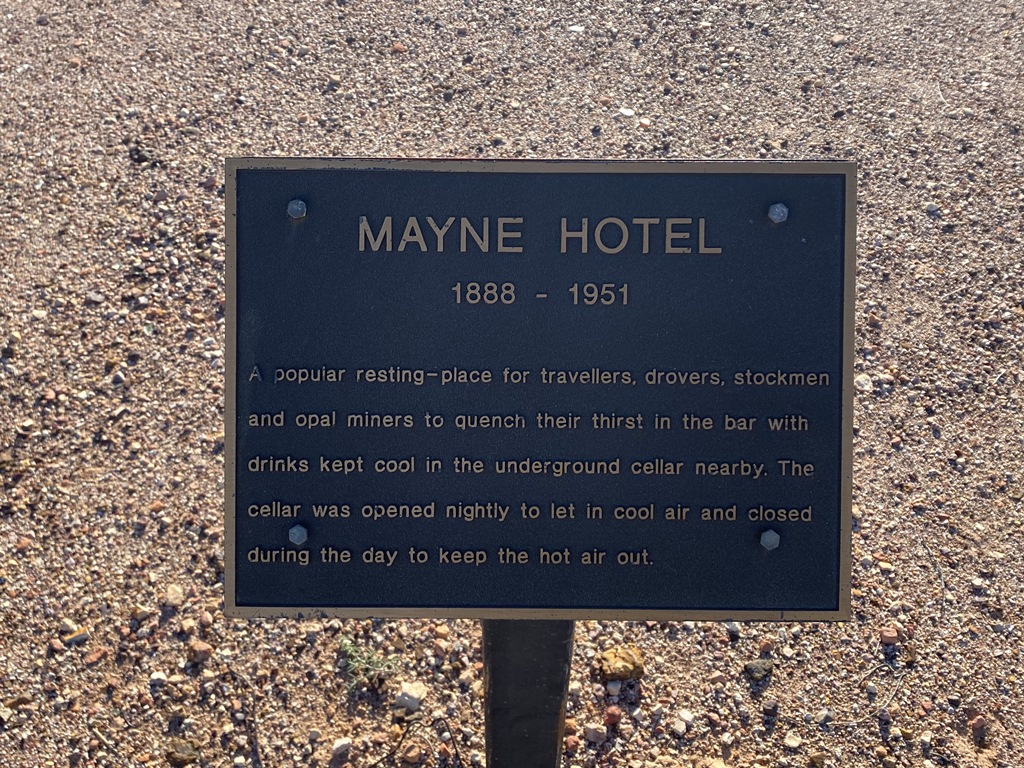
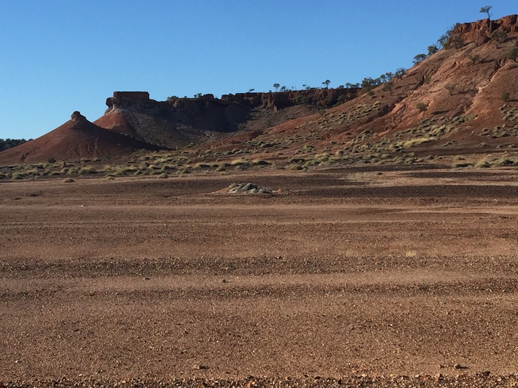
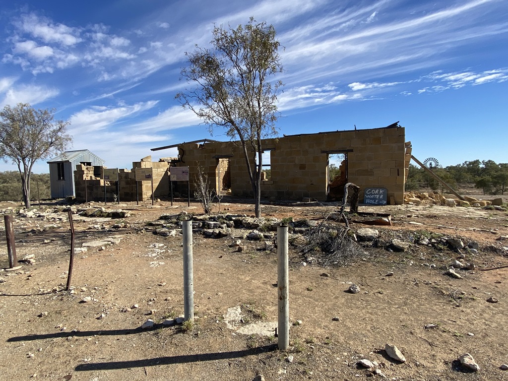
Birdsville and there was none and I had not past any road Closure signs, so I decided to ignore the rangers advice and slowly head northwards. I exited the NP and the road conditions were fine with no muddy sections that I had to navigate through. I reached Old Cork Station and
Waterhole where I turned east and then south past Lake Quarry and onto Stonehedge and eventually refuelling at the nice little town of
Jundah. The plan was to
camp in Welford NP, but again the
Park was still closed due to recent rains, so I decided to push on into the night and reach and
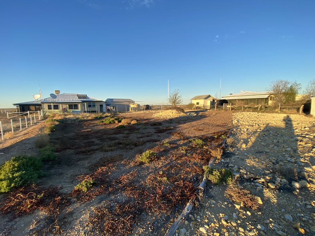
camp on the banks of the Bulloo River on the outskirts of
Quilpie. I eventually reached my
camp at about 08:30pm at night.

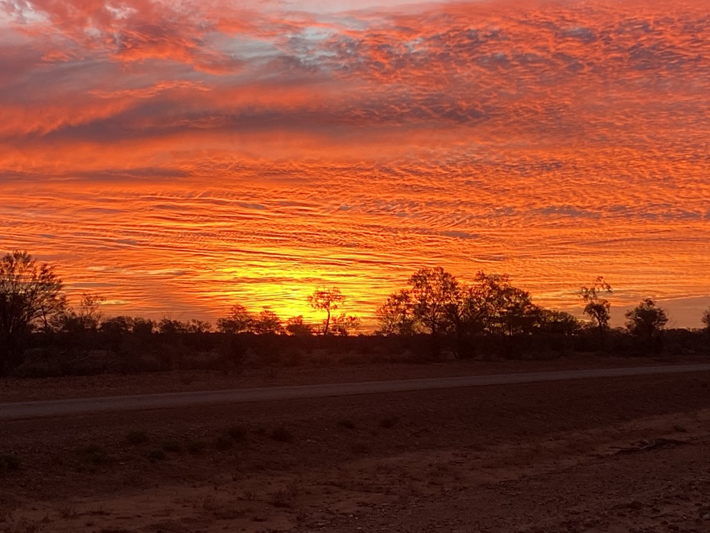
Day.28
Distance: 1221kms (Driving Time:14h44m)
With me getting a little bit homesick and missing my family but also wanting to see some things on the way home I decided I would again head north to
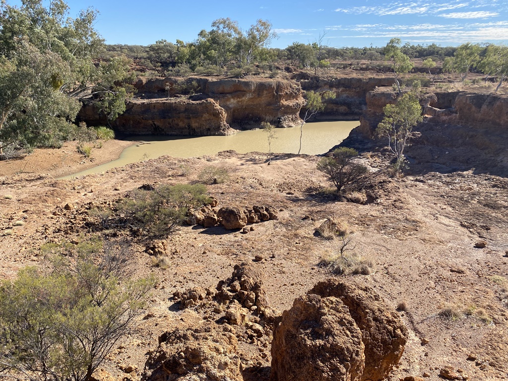
Adavale and then head into and check out Hell Hole Gorge NP. Reached the
Park just after 9am and stopped and took the time to walk around and check out the gorges and scenery. Only spent a couple of hours looking around and felt that I had seen what I wanted to see before heading back out and start making my way home. I reached and stopped at
Charleville where I refuelled and did my sums to see what it would take to drive all the way home from here. Since I had been battling a bad head cold and cough for the past week, I was getting sick and tired of it so I decided I would give it a go and head homewards, seeing how far I get and how I felt. As time went on I stopped a few
places to have a break then pushed on, reaching home about 1am the following morning… This bought my adventures to an end… Now clean up time ?
.jpg )
.jpg )
.jpg )
.jpg )
.jpg )
.jpg )
.jpg )
The End….